Borgarfjordur (Borgarfjörður) Eystri hikes
Borgarfjordur (Borgarfjörður) Eystri hikes
A local area hiking map is essential if you plan to hike any of the following routes – you can purchase one at the information centre in Borgarfjorður Eystri. Make sure you have suitable clothing and footwear as well as food and drink. Check the weather before setting out and do not attempt to hike if the fog is likely.
STORURÐ HIKE Duration: 5 hours. Difficulty: moderately strenuous. There are a couple of steep sections on the path (ascent and descent 250m) and some streams to ford. Interest: mountain views, birds, flora, boulders the size of houses. Start/End: Vatnsskard saddle (number 1 on the map).
From the pass, climb the slope to the south of the road and follow the marked path no. 14 along the broad flat ridge. At a trail junction (no.2 on the map) the giant boulders of Storurd come into view.
Descend on a steep path to your right towards the boulders, formed by a massive landslide that probably fell at the end of the Ice Age, creating the mountain’s ‘door’. Cross a stream to reach a small turquoise lake in amongst the boulders, a good spot for a picnic. Return by the same way back to where you left your car.
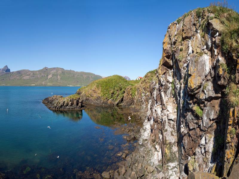
BORGARFJORÐUR-BRUNAVIK HIKE Duration: 5 hours. Difficulty: moderately strenuous walk crossing two passes, the first at 345m, the second at 321m. Interest: coastal and mountain views and a secluded pebble beach. Start/End: drive through the village and follow the road around the coast.
Park beside the mast where the trail starts (no 18 on the map). This was once the main bridle trail to the now deserted bay of Brunavik. Follow path no 1 to a saddle then descend abruptly to a sheltered bay (marked no 20 on the map) and the remains of the farm, abandoned in 1944.
There is a perfect sense of peace and quiet here, with the waves lapping on the shore. The beach has different coloured stones including rounded quartz pebbles. Walk up the valley on the west bank of the river, on the path no 2 then follow the rough track to your right up to the mountain to the saddle of Hofstrandaskard (marked 22 on the map). Descend back to the road and turn right to return to your car.


