Fjallabak Mountain Route
Fjallabak Mountain Route
The Fjallabak Route is arguably one of Iceland’s most scenic highland drives.
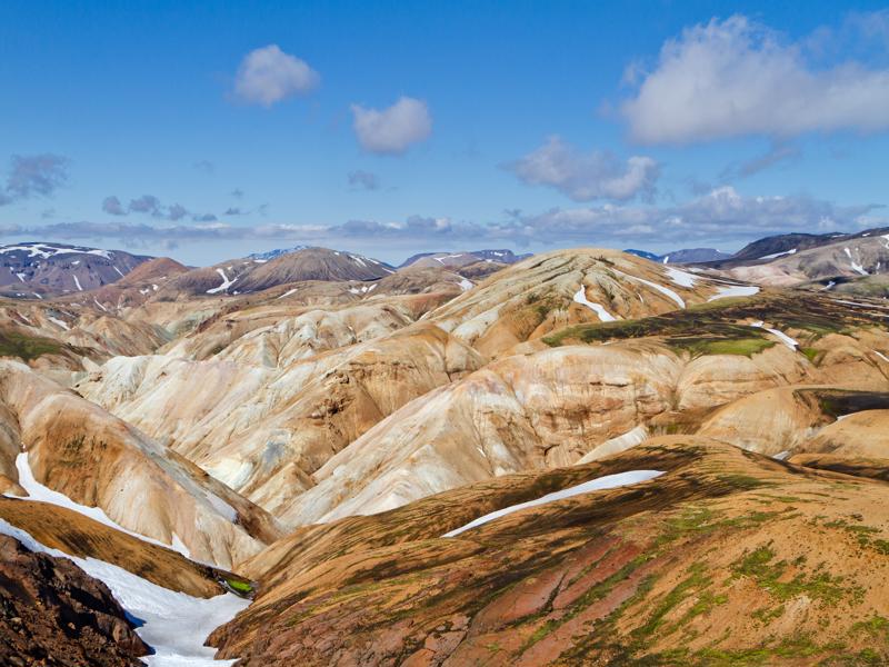
The route traverses the Fjallabak Nature Reserve, a mountainous region north of Myrdalsjokull icecap through the heart of one of the largest rhyolite mountain ranges in Iceland.
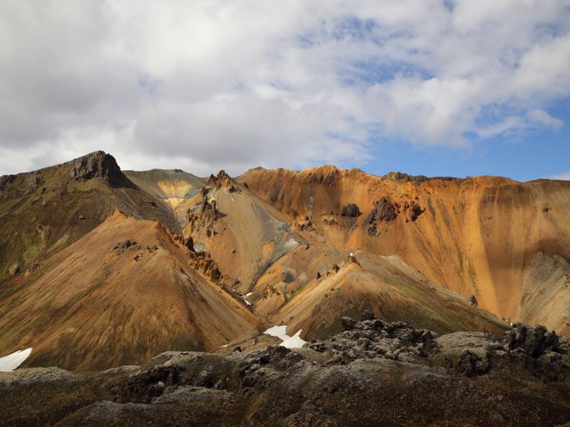
Rhyolite is a silica-rich volcanic rock, formed in acidic eruptions – in Iceland, these are less common than basaltic eruptions. When erupted under ice, rhyolite is typically light in color, coming in shades of beige, pink, ochre, orange and grey, and occasionally blue or green.
When it forms as lava on the surface, it is dark but often glassy in appearance. In its purest form, you’ll get obsidian or volcanic glass and shattered fragments of this attractive rock are a feature of the Landmannalaugar area.
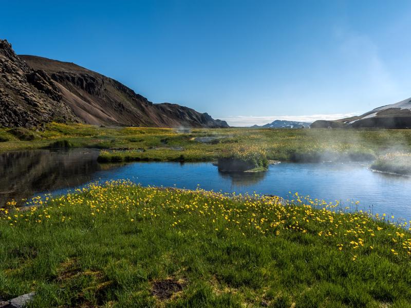
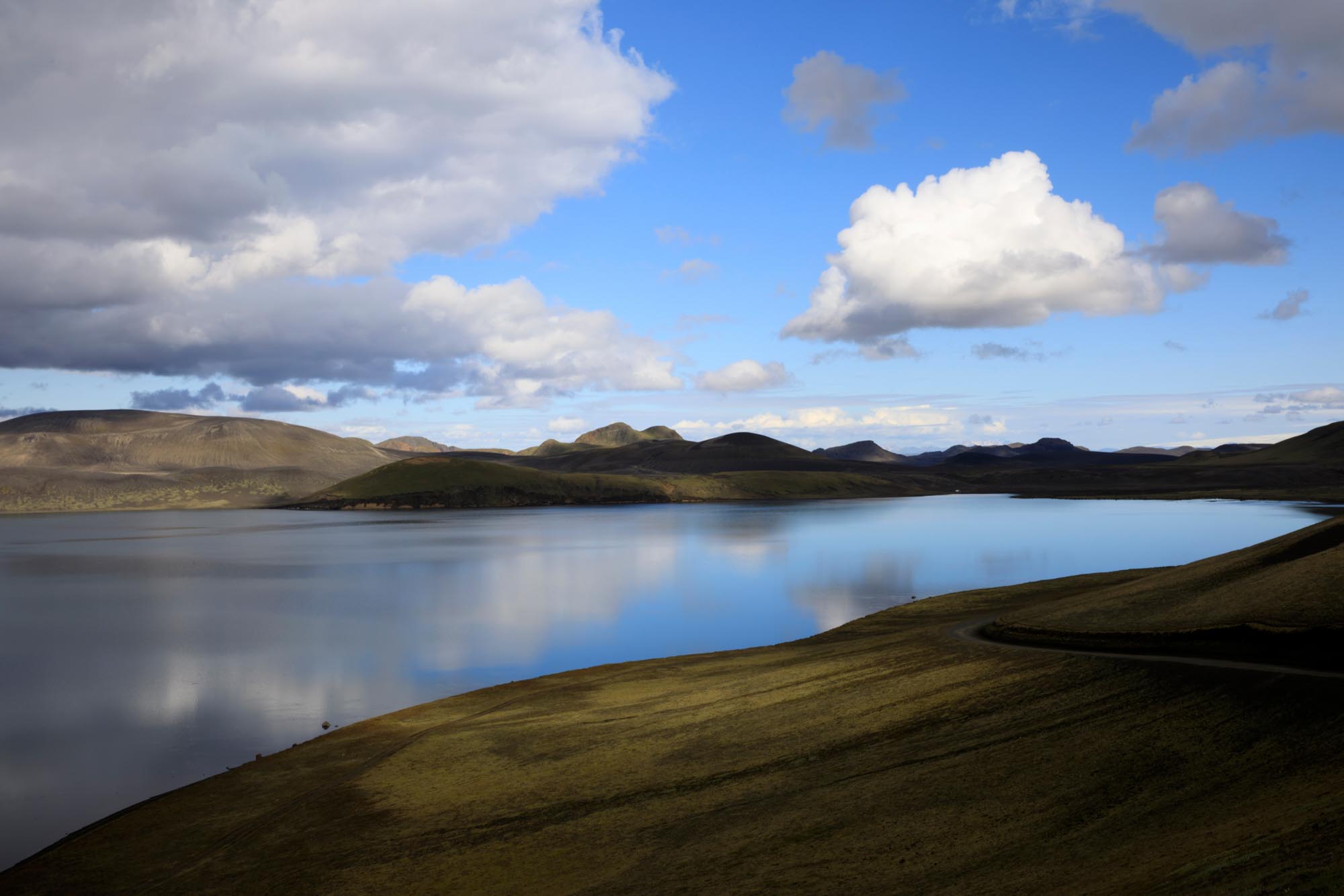
The Fjallabak area presents a marvelous array of natural features: craters, lava flows, moss-clad mountains, valleys, lakes and rivers, sparkling streams, canyons, and weird eroded rock formations. It’s a constantly changing landscape with many photographic opportunities.
The northern Fjallabak route (road F208) goes through the rhyolite mountains and has several river crossings and some steep up and down sections, which under usual conditions are not overly challenging.
The southern Fjallabak routes (roads F210 (and F261 & F232) are not recommended for novice 4x4 drivers and involve more challenging river crossings that require experience and caution.
As always, inquire about road conditions locally before you set out.


