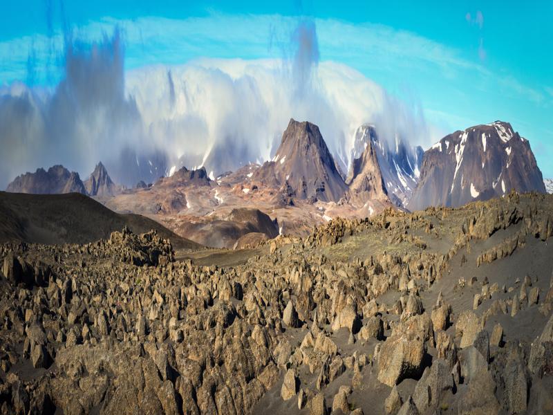
Kaldidalur valley
Kaldidalur valley
As the track winds through the rather barren Kaldidalur valley you’ll enjoy sweeping views of mountains and glaciers.
The valley lies between the rounded volcanic summit Ok (1198m) and Iceland´s second largest glacier, Langjokull (1,450m) - the route’s highest elevation is 727m.
To get a fantastic view over the area take an easy hike up to the top of Meyjarsæti (237m). It is close to the road just before a small lake called Sandklyftavatn.
In the distance, you may see Skjaldbreidur (1,060m) a shield volcano, a type which is rare in other volcanically active countries.
On the way through Kaldidalur the icecaps, Þorisjokull, Langjokull, Ok and Eiriksjokull can be seen, weather permitting.
By the highest point of the road is a big cairn. In past times, when people traveled this route on foot or horseback for the first time, they piled rocks into a cairn for good luck, often with a note or poem.
Cairns like these were sometimes called Beinakerling, or Bony Lady. Nowadays, people still add rocks to the cairn, mostly for fun, but being naturally superstitious, Icelanders do it to be on the safe side and to ward off any bad luck. Further along the road, you might glimpse a rock with a face carved into it, courtesy of the artist Pall Guðmundsson from Husafell farm, a very talented sculptor.


