Kjolur (Kjölur) Route
Kjolur (Kjölur) Route
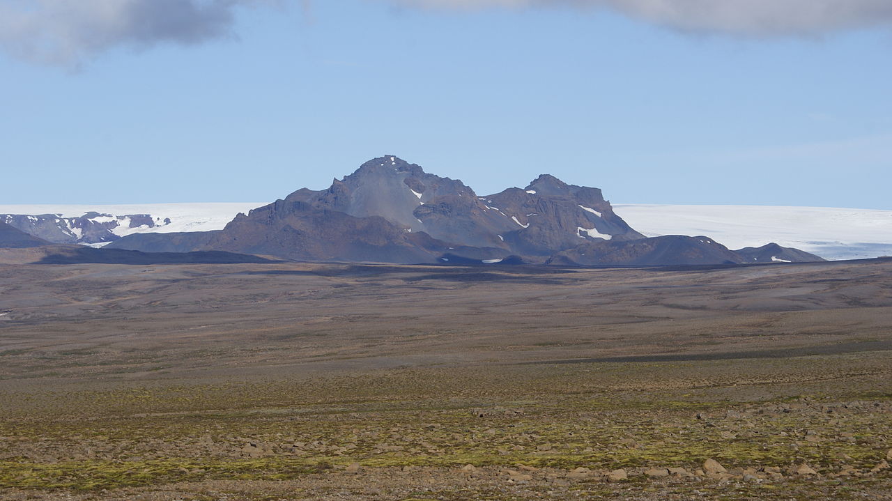
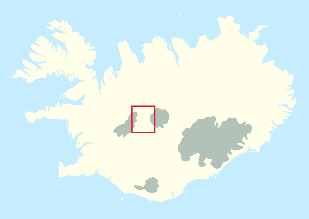
Only open in summer, the 200km long highland gravel road traverses the remote backcountry between the two icecaps Langjokull and Hofsjokull.
The route winds along Ice Age glacial moraines rising to 700-800m above sea level.
The journey gives a real feeling for the wildness of Iceland’s uninhabited interior.
You just need to stop your vehicle from time to time and wander a couple of hundred meters from the road to understand the silence and solitude. You should allow at least 10 hours for the journey, including stops.
Many writers and photographers have found inspiration in these far-reaching vistas and environmentalists are deeply concerned about plans to continue development of the highlands.
The directions given here for the 200km route F35 are based on traveling from Gullfoss waterfall in the south to Blondudalur valley in the north.
It is essential to check on the weather and route conditions before setting off.
Follow road 35 north past Gullfoss waterfall. Cross an almost dry river bed, where the Hvita River once flowed, then climb to a saddle on the flank of Blafell (1204m).
You’ll see the road stretching into the distance ahead. Crossing the new course of Hvita, the glacial lake Hvitarvatn comes into view on your left. Sometimes icebergs calved from the glacier can be seen on the lake.
The route now follows old glacial moraines and you will come to a side track, F347 on the right. This detour will bring you to Kerlingarfjoll (1477m) a range of colorful rhyolite mountains named after a troll wife.
There’s accommodation, camping site and a cafe here. There are numerous hiking trails in the area which is peppered with hot springs and mud pools.
Not all the trails are suitable for the average hiker – we recommend seeking advice at the café.
Back on the F35 heading north, if the weather is clear there should be a great view of the icecap, Hofsjokull and impressive Hrutfell, mountain reminiscent of a badly-iced cake, its glaciers spilling from a domed summit.
A short detour from the road is Hveravellir, one of Iceland’s most beautiful geothermal areas and a stop here is highly recommended.
Stroll on a boardwalk to look at the hot springs and hissing fumaroles and, best of all, enjoy a dip in a natural hot pool. For a leg-stretch, take the path through the lava of a shield volcano towards its crater Strýtur.
The route continues over heathland, where grass seed has been sown in an effort to reclaim eroded pasture.
There's a beautiful view from a hilltop overlooking the 40km2 reservoir created for the Blanda hydropower project.
Practical Information: The distance between Gullfoss and the Blanda power plant is 161km. Fill up at Geysir before setting off and take a packed lunch and drinks.
Light refreshments are available at Hveravellir.


