Reykjahlid (Reykjahlíð) Village
Reykjahlid (Reykjahlíð) Village
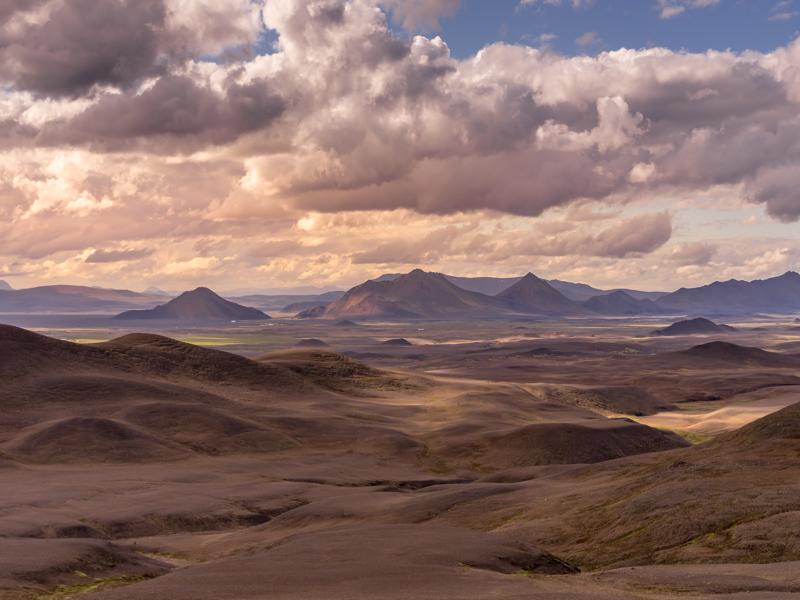
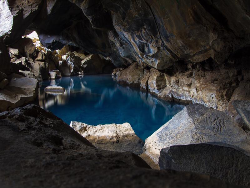
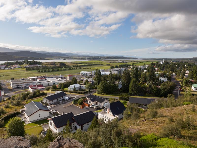
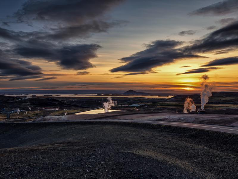
The largest village at Lake Myvatn, Reykjahlid takes its name from a prosperous farm situated by the lake. Though at an altitude of 264m above sea level, Myvatn has a favorable climate and farming has long been an important economic activity. Reykjahlid means 'steamy slope' and draws its name from the area's geothermal activity.
There had been no volcanic activity in the area since the settlement of Iceland when, in 1724, an explosive eruption at nearby Krafla formed the gaping Viti crater.
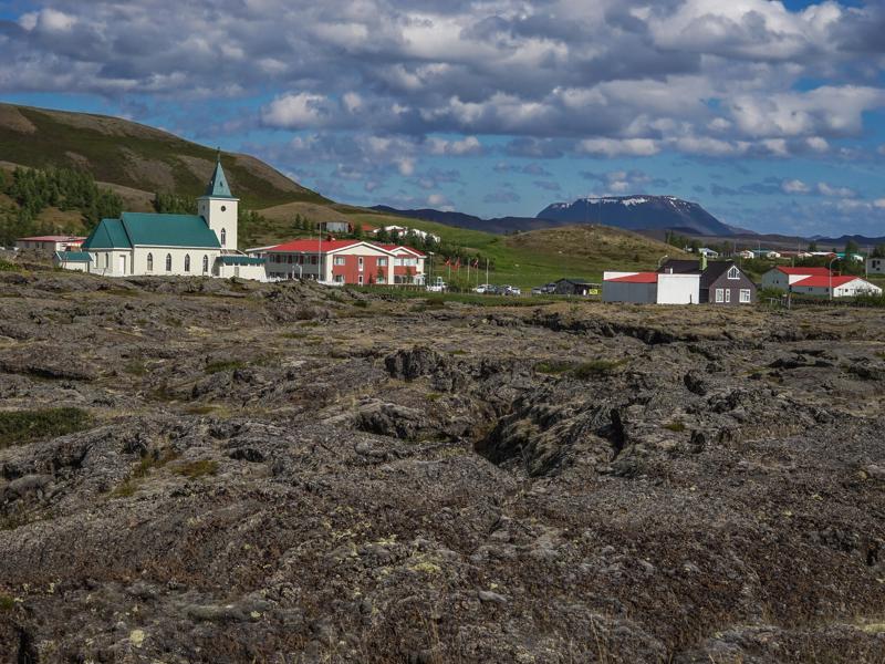
The eruption became known as the 'Myvatn Fires' and over the next five years, a lava flow edged its way towards the lake, wiping out pastures and threatening the farms.
Today, the volcanic features that surround the lake are a huge attraction for visitors and many of the 300 inhabitants are employed in tourism.
In 1969 Iceland's first geothermal power station opened at Bjarnaflag, powering the extraction and drying of-of silica-rich diatomaceous mud from the lake floor.
The larger Krafla geothermal power station was built in the 1970s but temporarily stalled when a new bout of volcanic activity rocked the region from 1975 to 1984.
The diatomite industry has been replaced by a plant recycling plastic wrapping for silage bales, used to make the yellow reflective markers placed along Iceland’s roads.
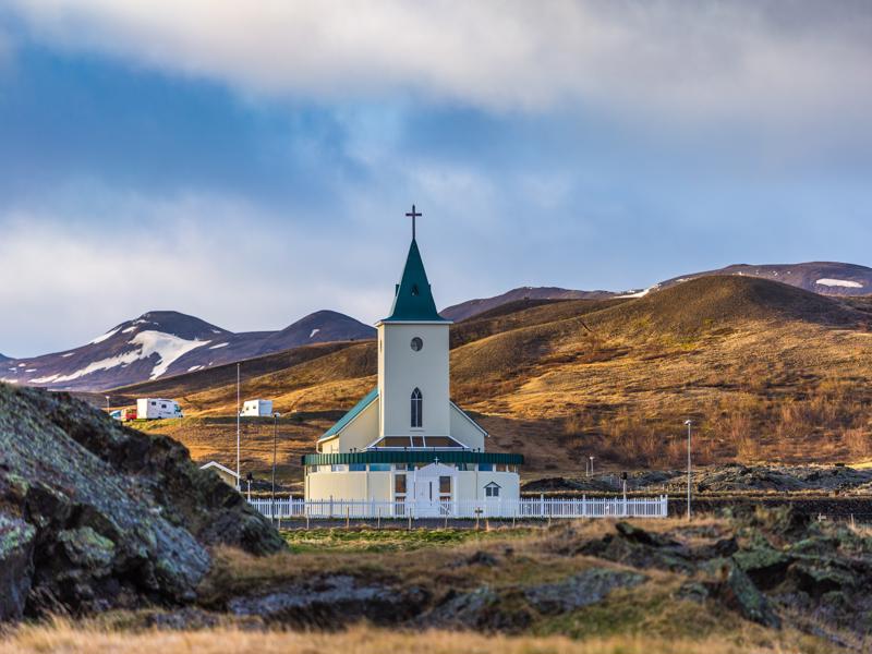
At Reykjahlid, there are two hotels, a Visitor Centre, cafe, supermarket, and craft shops. During the 1724-9 eruptions, lava almost engulfed the church standing on the same site as the present modern one. Numerous walking trails start from the village – pick up a map at the Visitor Centre.


