Reykjanes Peninsula Lava
Reykjanes Peninsula Lava
Reykjanes Peninsula's stark moonscapes greet passengers arriving at Keflavik International Airport.
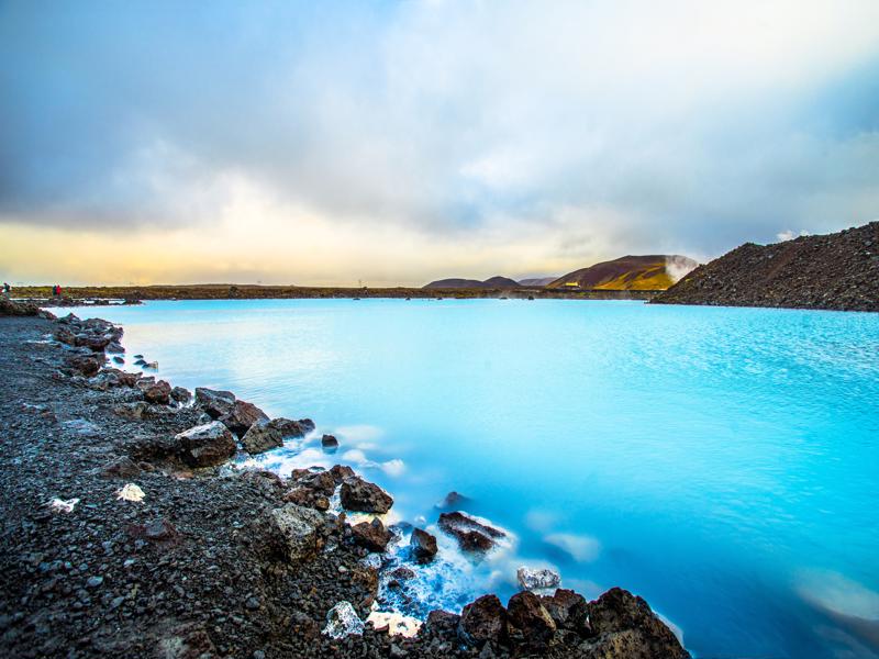
Many visitors head straight for the Blue Lagoon or the capital, ignoring the natural attractions of the boot-shaped peninsula, which really merit a visit.
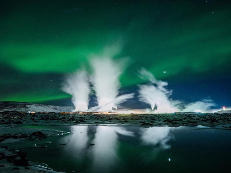
These include geothermal springs, among them Iceland's largest mud pool at Gunnuhver, craters and lava beds and a wave-lashed coast where surfers defy reason and lighthouses outnumber fishing villages.
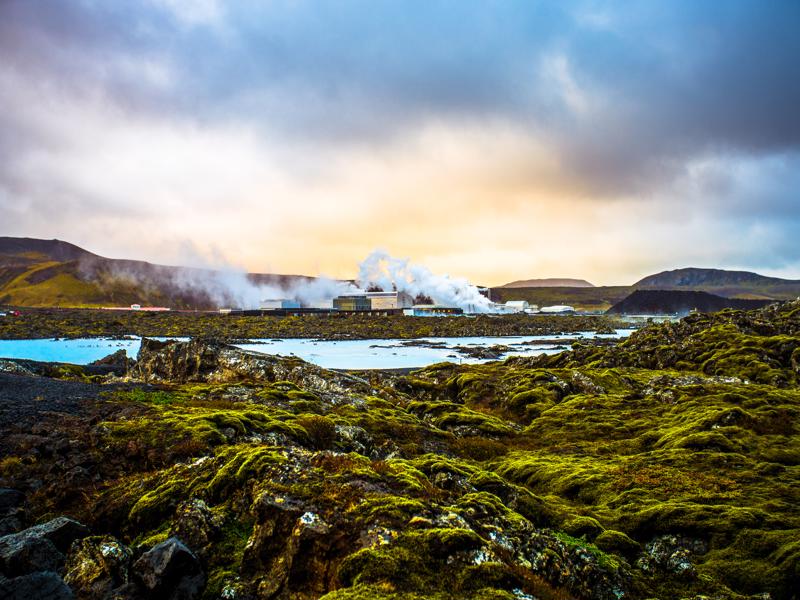
Windswept Reykjanes appears barren due to its extensive lava fields and lack of trees.
A closer look shows that the lava is not quite as devoid of vegetation as it might at first appear. A carpet of moss coats the lava - grey when dry but turning green when damp.
Sited astride the Mid-Atlantic Ridge, where the European and North American tectonic plates are dividing, Reykjanes is blatantly volcanic.
To witness the plate divide, head for the Bridge between Continents, a man-made feature that spans the fissure.
Among the recent lava flows is Illahraun, surrounding the Blue Lagoon, which dates from the 13th century and flowed from a row of craters.
Others lava flows were produced from lava shield eruptions as the ice sheets retreated from Iceland around 10,000 years ago.
The larger mountains and ridges on Reykjanes, including the prominent cone-shaped Keilir, were formed in sub-glacial eruptions during the Ice Age.
You'll note the lack of surface water or rivers on the peninsula but water flows below the lava, seeping into the sea where it meets the ocean.
Along with this rugged coast, you'll find no fewer than eleven spectacularly sited lighthouses including Reykjanesviti, Iceland's oldest dating from 1878, and its tallest at Gardskagi, where a map marks all the known shipwreck sites in the area.


