Thingvellir (Þingvellir) National Park
Thingvellir (Þingvellir) National Park
Thingvellir is Iceland’s first national park, established in 1930, and part of UNESCO’S World Heritage List since 2004. If there is one place that epitomises the spirit of Iceland, it is Thingvellir.
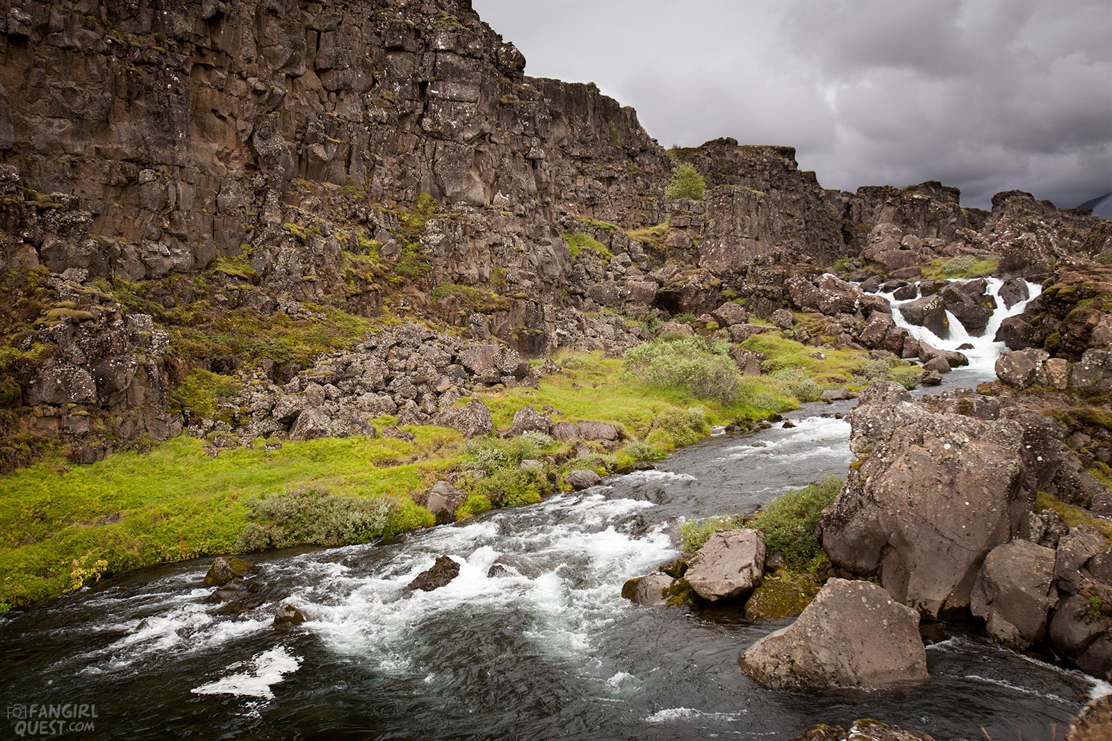
Covering much of the area is a flow of ropy lava from the shield volcano Skjaldbreidur, which lies north of the site. The lava is covered with birch woodland and heather and bilberry shrubs, and there are many rifts, gorges and canyons to explore.
At Thingvellir, the two tectonic plates along the Mid-Atlantic Ridge diverge at a rate of 2.5cm a year, creating a rift valley; the ‘gap’ now around 7km wide.
You can drive into the park on the European plate, then cross the rift valley onto the gradually sinking American plate, which forms the walls of the Almannagja gorge.
Subsidence from the rifting has formed Thingvallavatn, Iceland’s largest natural lake, and the landscape here is breathtaking.
The park's birdlife is as varied as it is abundant - along with the lakeshore look for great northern diver, red-throated diver, red-breasted merganser and Arctic tern.
Families of greylag geese gather along the river banks, while in the birch scrub look for snipe, whimbrel, golden plover and redwing.
A good place to start your visit is the Hakid Visitor Centre, where an interactive presentation explains the natural features of the park.
Most of Thingvellir's car parks make a daily charge of 500kr (card payments accepted) and there is also a fee to use the toilets, so have some 100kr coins to hand.
Pick up a trail map for the Thingvellir area and then set off to explore the site on foot. At Hakid, the western rim of the rift valley forms the wall of Almannagja canyon.
Step onto the viewing platform for a panoramic view. Note the gaping fissure that opened recently in the canyon floor as you walk on the ‘bridge’, which leads down Almannagja to a flagpole.
This marks the probable site of the Law Rock, where the laws of the land were recited by the Law Speaker at Iceland's Althing national assembly.
The assembly, attended by the 36 chieftains of the land and their supporters, was established at Thingvellir in 930 and operated as a legislative body until 1262 when authority was ceded to Norway. It continued as a judicial assembly and law court until 1799, when it shut down following severe earthquakes.
As the Thingvellir assembly was only held for a two-week period each June, dwellings on the site tended to be temporary structures and you can see the rough outline of such a building by the Law Rock.
The river Oxara flows through the assembly site and it is believed that the chieftains had the riverbed altered, about 1000 years ago, to provide fresh water.
In a deep part of the river by the bridge is the place where condemned female convicts were drowned by weighting them with stones and throwing them into the river.
There is a sign by the bridge with the history of punishments at Thingvellir, naming all the women who were killed in this way. In autumn or late summer, one can often spot brown trout in the river.
If you have time, continue north following the Almannagja gorge past two parking areas and you will reach the delightful little waterfall Oxarafoss.
A boardwalk tempts you to continue even further along the gorge and indeed you should – it gets more and more spectacular. Here Game of Thrones fans may recognise some of the landmarks but eventually you will need to retrace your steps to where you left your car.
For refreshments visit the Hakið Visitor Centre or the Information Centre on Road 36.


