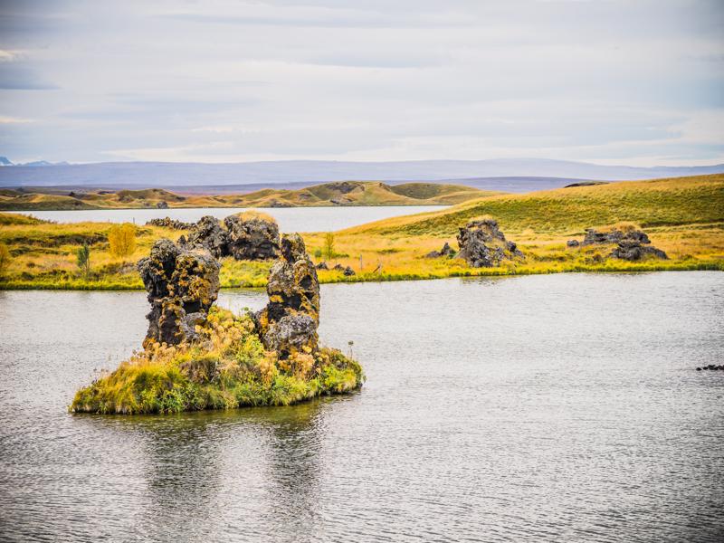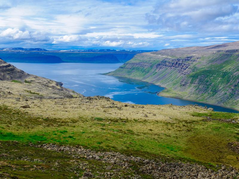
Dynjandisheidi (Dynjandisheiði) drive
 Vestfjarðavegur, Iceland, Bíldudalur
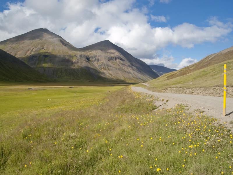
The gravel road between Bildudalur and Þingeyri is one of the most exciting and scenic drives in Iceland. Take it slowly, stopping at the numerous viewpoints to soak up the rugged landscapes. Often in...
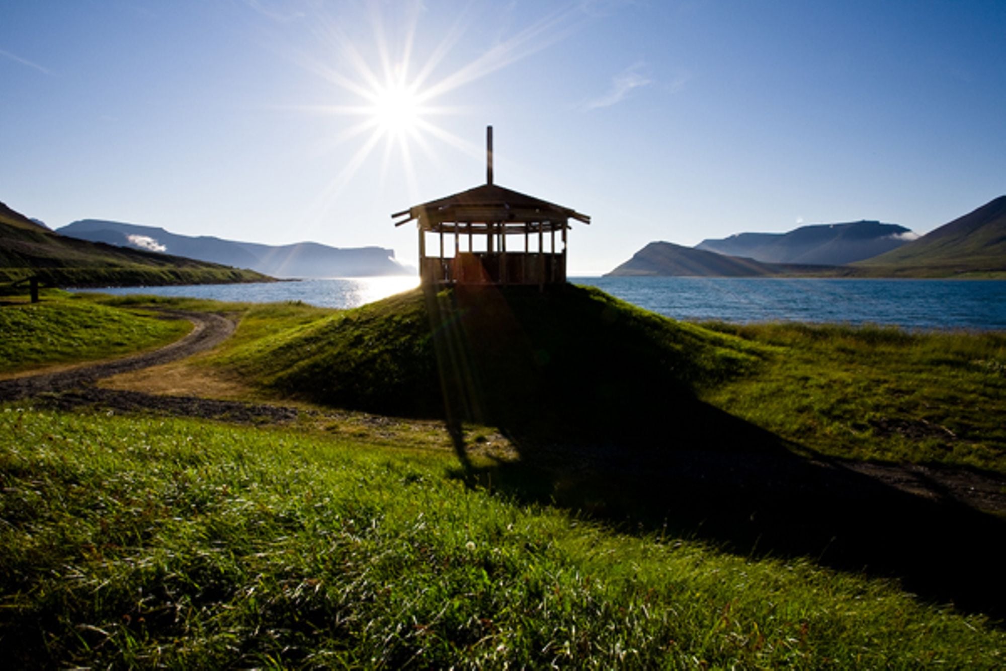
Dyrafjordur (Dýrafjörður) to Arnarfjordur (Arnarfjörður) coast track
 Dýrafjörður, Thingeyri, Iceland, Þingeyri
Look at the map and you will see a coastal route connecting Dyrafjordur and Arnarfjordur. This treacherous route is accessed by road 622 leading to Haukadalur valley and Svalvogar lighthouse. From Sva...
Drangajokull (Drangajökull) glacier
 Snæfjallastrandarvegur, Iceland, Hólmavík
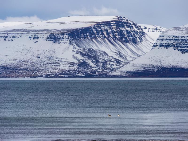
Drangajokull, Iceland´s northernmost glacier, is visible from many places in the West Fjords. The fifth largest glacier in the country, its highest peak reaches 925m and its area is about 200km². When...
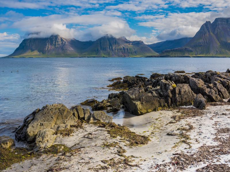
Strandir Coast
 Kaldbakur, Iceland, Árneshreppur
This area is only accessible in summer. This is a two-hour drive (each way) on gravel road 643, through one of the most remote and isolated regions of Iceland. The road snakes along the coast between...
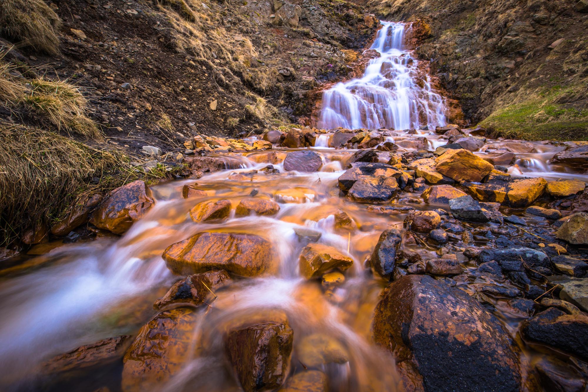
Hvitserkur (Hvítserkur) rock
 Vatnsnesvegur, Iceland, Hvammstangi
It is often said that this much photographed 15 m high rock stack is what puts Vatnsnes on the map. The offshore rock, which resembles a prehistoric animal, cannot be seen from the road: it is sited b...


