Kaldalon (Kaldalón) detour
 Snæfjallastrandarvegur, Iceland, Hólmavík
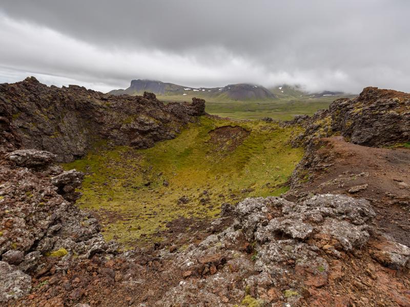
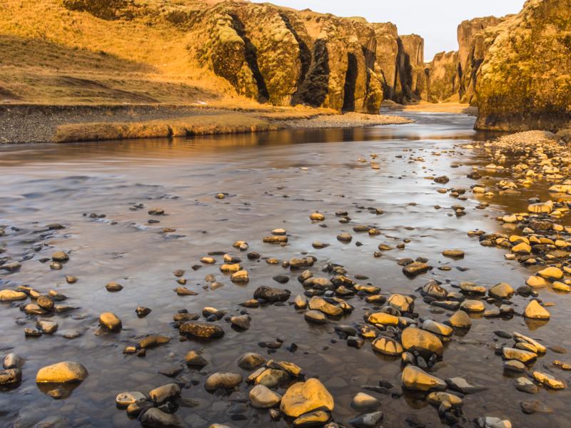
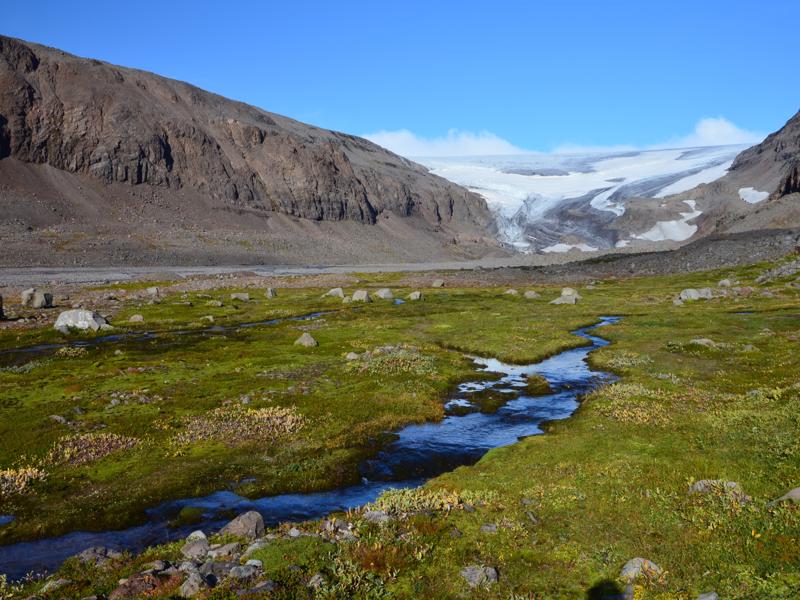
Only accessible in summer, the gravel road 635 heads north to Kaldalón inlet, formed by a retreating glacier tongue. Not many visitors bother with this detour but if you like wild, remote places with...
Borgarfjordur (Borgarfjörður) Eystri hikes
 Borgarfjörður Eystri, Iceland, Borgarfjörður Eystri
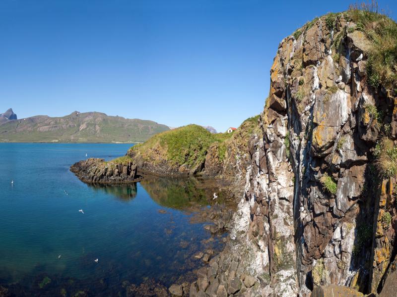
A local area hiking map is essential if you plan to hike any of the following routes – you can purchase one at the information centre in Borgarfjorður Eystri. Make sure you have suitable clothing and...
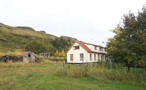
Mulakot (Múlakot) forest
 Fljótshlíðarvegur, Iceland, Hvolsvollur
At Mulakot Iceland's Forest Service has been planting trees since around 1940 and it is now the largest and most versatile forest area in South Iceland. Before the middle of the 20th century, many kin...
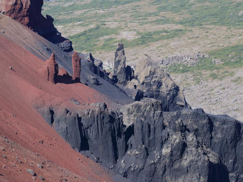
Hljodaklettar (Hljóðaklettar) Hike
 Dettifossvegur, Iceland, Kópasker
Useful Information: pick up a map at the warden’s office in Asbyrgi or Vesturdalur. Bring food and drink with you. Duration: 2-2.5 hours. Difficulty: fairly challenging circular walk on an uneven, ro...
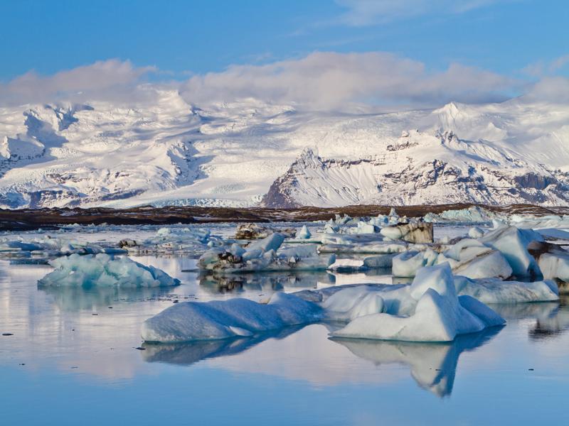
Jokulsarlon (Jökulsarlón) hike
 Þjóðvegur, Iceland, Hofn i Hornafirdi
Duration: 2 hours (or longer). Difficulty: easy walk along terminal moraines overlooking the lagoon. Interest: the famous iceberg lagoon - icebergs, seals, birds. Start/End: the path starts from the c...
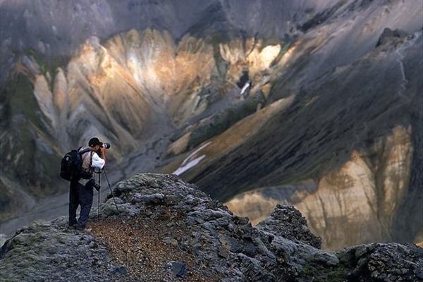
Blahnukur (Bláhnúkur) Circle
 Landmannalaugavegur, Iceland, Hella
Duration: allow 3-4 hours. Difficulty: a tough but rewarding hike, with two steep ascents and descents, on a waymarked path. Interest: breathtaking views of colourful rhyolite mountains; geothermal so...
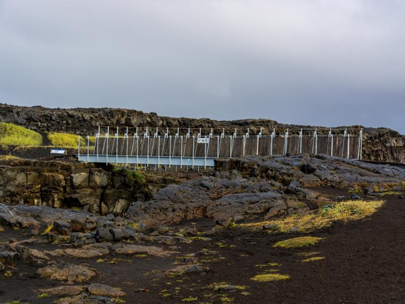
Bridge between continents
 Nesvegur, Iceland, Reykjanesbær
The Mid-Atlantic Ridge runs through Iceland from the southwest to the northeast and it’s particularly visible here on the Reykjanes Peninsula. The divergent American and Euro-Asian tectonic plates are...


